Archivo:Toledo MSA with Fremont micro in NW Ohio.png

No se dispone de una resolución más alta.
Toledo_MSA_with_Fremont_micro_in_NW_Ohio.png (688 × 404 píxeles; tamaño de archivo: 58 kB; tipo MIME: image/png)
Resumen
| Descripción |
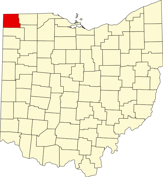
English: The counties in dark green are within the Toledo MSA, whereas the county in light green is the Fremont Micropolitan area and is only included in the Toledo-Fremont, OH CSA. All counties in white are generally considered to be Northwest Ohio. |
| Fuente | https://upload.wikimedia.org/wikipedia/commons/thumb/c/c1/Map_of_Ohio_highlighting_Williams_County.svg/551px-Map_of_Ohio_highlighting_Williams_County.svg.png |
| Autor | David Benbennick |
- Other information
English: I used Ben's original map as a base for my map, and then changed the colors and added labels.
Este fichero se encuentra en dominio público porque It was used for Wikipedia and the author stated it was in the Public domain
En algunos países esto no es legalmente posible, en ese caso: ¡Por favor, verifique que la razón dada arriba es válida!
|
Historial del archivo
Haz clic sobre una fecha y hora para ver el archivo tal como apareció en ese momento.
| Fecha y hora | Miniatura | Dimensiones | Usuario | Comentario | |
|---|---|---|---|---|---|
| actual | 14:48 18 jul 2016 | | 688 × 404 (58 kB) | Tma169 | {{subst:Upload marker added by en.wp UW}} {{Information |Description = {{en|The counties in dark green are within the Toledo MSA, whereas the county in light green is the Fremont Micropolitan area and is only included in the Toledo-Fremont, OH CSA. All... |
Usos del archivo
La siguiente página usa este archivo:
Uso global del archivo
Las wikis siguientes utilizan este archivo:
- Uso en fa.wikipedia.org
- Uso en www.wikidata.org