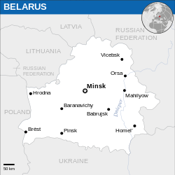
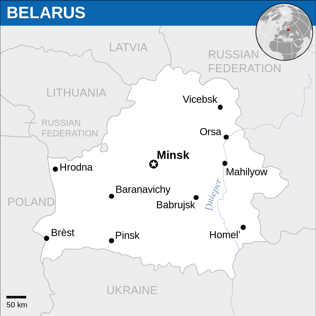
Archivo:Belarus - Location Map (2013) - BLR - UNOCHA.svg

Ver la imagen en su resolución original ((Imagen SVG, nominalmente 250 × 250 pixels, tamaño de archivo: 931 kB))
Resumen
| Descripción |
Català: Mapa de localització de Belarús.
English: Locator map of Belarus. |
| Fecha | |
| Fuente |
English: Belarus Locator Map (ReliefWeb), ESRI, UNCS |
| Autor | |
| Otras versiones |
|
| SVG desarrollo |
_-_BLR_-_UNOCHA.svg&lang=ca)
_-_BLR_-_UNOCHA.svg&lang=en)
_-_BLR_-_UNOCHA.svg&lang=id)
_-_BLR_-_UNOCHA.svg?uselang=es)
_-_BLR_-_UNOCHA.svg)
|
Este archivo SVG contiene texto incrustado que puede traducirse a su lengua, mediante un editor que admita SVG (como XML o texto). Para más información, véase: Sobre la traducción de archivos SVG. |
Este archivo se traduce usando elementos <switch> de SVG. ¡Todas las traducciones se almacenan en el propio archivo! Aprender más.
Para insertar este archivo en tu idioma (si está disponible) usa el parámetro Para traducir este archivo a tu idioma, puede usar la herramienta de traducción de SVG. Alternativamente, puedes descargar el archivo a tu ordenador, añadir la traducción utilizando cualquier software con el que estés familiarizado y resubirlo con el mismo nombre. Encontrarás más ayuda en el Taller de Ilustraciones / Laboratorio Gráfico si no estás seguro de cómo hacerlo. |
_-_BLR_-_UNOCHA.svg)
Licencia
- Eres libre:
- de compartir – de copiar, distribuir y transmitir el trabajo
- de remezclar – de adaptar el trabajo
- Bajo las siguientes condiciones:
- atribución – Debes otorgar el crédito correspondiente, proporcionar un enlace a la licencia e indicar si realizaste algún cambio. Puedes hacerlo de cualquier manera razonable pero no de manera que sugiera que el licenciante te respalda a ti o al uso que hagas del trabajo.
 This map is part of a collection of 216 free country maps, created by the UN Office for the Coordination of Humanitarian Affairs (OCHA), to be used in print, web or broadcast products.
The ReliefWeb Location Maps released here are maps that highlight a country, its capital, major populated places and the surrounding regions. Attribution Requirements
Using the map without modifications: ensure that the sources and the disclaimer are below the map. Credit as follows: "Credit: OCHA". For use with alteration: remove the OCHA logo and disclaimer following any modification to the map, but keep the data sources as mentioned below the map. Credit the modified map as follows: "Based on OCHA map". You are responsible for the content of your map. We are keen to receive your feedback and hear how you used OCHA's maps. We would be grateful if you would notify us by e-mail and share your work with us. UN Disclaimer
The designations employed and the presentation of material of this map do not imply the expression of any opinion whatsoever on the part of the Secretariat of the United Nations concerning the legal status of any country, territory, city or area or of its authorities or concerning the delimitation of its frontiers or boundaries. |
Historial del archivo
Haz clic sobre una fecha y hora para ver el archivo tal como apareció en ese momento.
| Fecha y hora | Miniatura | Dimensiones | Usuario | Comentario | |
|---|---|---|---|---|---|
| actual | 11:01 28 dic 2024 | | 250 × 250 (931 kB) | Manlleus | File uploaded using svgtranslate tool (https://svgtranslate.toolforge.org/). Added translation for ca. |
| 11:05 3 sep 2023 |  | 250 × 250 (928 kB) | Illchy | File uploaded using svgtranslate tool (https://svgtranslate.toolforge.org/). Added translation for id. | |
| 08:54 19 nov 2022 |  | 250 × 250 (928 kB) | Pengetik-AM | File uploaded using svgtranslate tool (https://svgtranslate.toolforge.org/). Added translation for id. | |
| 09:15 10 ene 2016 |  | 250 × 250 (931 kB) | Wereldburger758 | Resized page to drawing. Removal watermark. Validation of image. | |
| 22:37 13 mar 2014 |  | 254 × 254 (909 kB) | UN OCHA maps bot | == {{int:filedesc}} == {{Information |description={{en|1=Locator Map of Belarus. {{OCHA map}}}} |date=2013 |source=[http://reliefweb.int/map/belarus/belarus-location-map-2013 Belarus Locator Map (ReliefWeb)] |author=[[w:United Nations Off... |
Usos del archivo
Las siguientes páginas usan este archivo:
Uso global del archivo
Las wikis siguientes utilizan este archivo:
- Uso en az.wiktionary.org
- Uso en ca.wikipedia.org
- Uso en id.wikipedia.org
_-_BLR_-_UNOCHA.svg)